Wednesday, May 10, 2017

Half Moon Lake

Yes, this is a Lake ride, although not really any beach riding.  I, personally, would not take a horse on this ride again. The reason being an extremely rocky and steep section. I didn't get photos of that section.  Our barefoot horses required boots. 

This is near "The Inlet"

5.35 miles on this track.  Min. altitude=7,569; Max altitude=7,707'; Trail conditions: 70% dirt; 20% rocky; 10% extremely rocky

Part of the road was closed to traffic, so we just rode it.

Started out really pretty.

Nice trail here.


This is one of the "easier" parts.

Much of the upper trail was like this.

And this...


Once we got to the "inlet", there was this nice place for lunch.


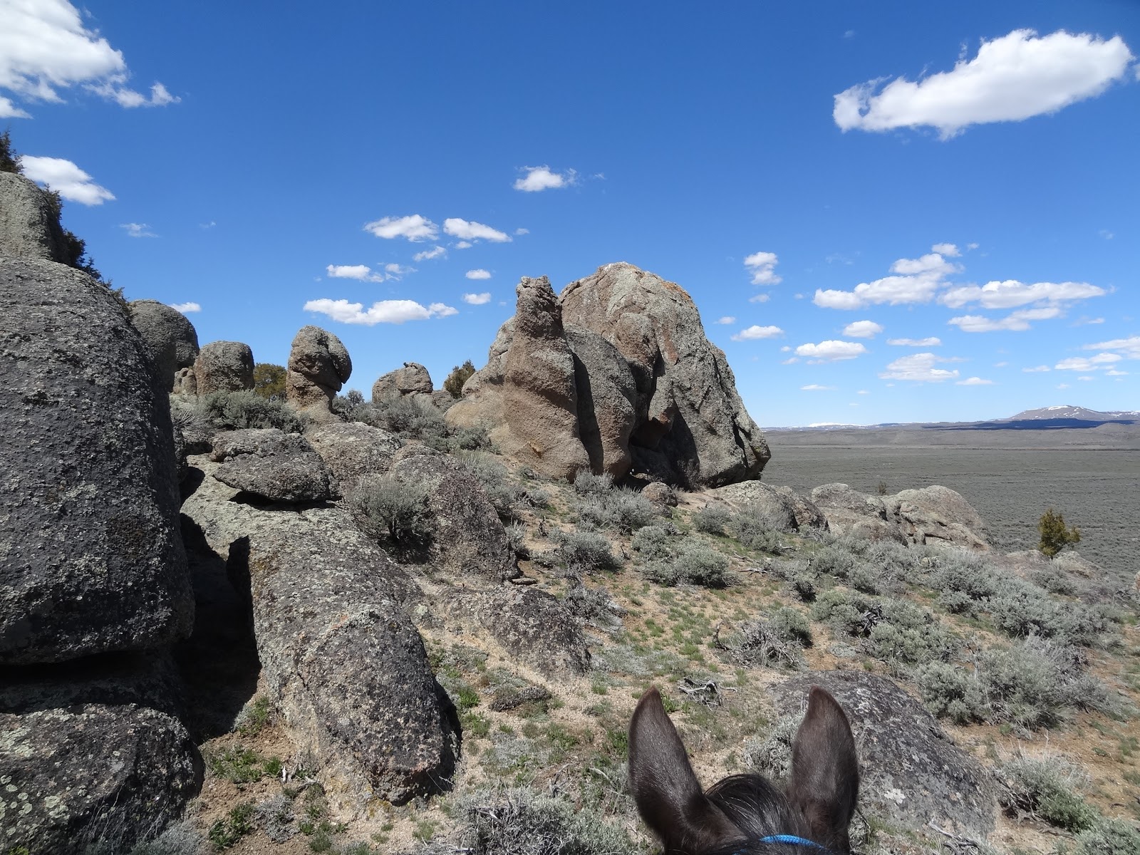
Boulder Rocks


There are so many options in this unique area. It might appear to be a boring sagebrush ride, but there are vistas of three mountain ranges, Eagle nests, Wide open BLM land, Soft dirt tracks for cantering.   Best done in the spring or fall because there is very little shade and no water. A great choice when the higher elevation rides are snowed in.  Super for barefoot horses. 

(click on any photo to open enlarged images. Some photos courtesy of Teisha Preece and Nancy Stephens)


Directions from Pinedale.  Yellow arrow shows where we park.

Our preferred parking spot is the top one.  Other options are lower.
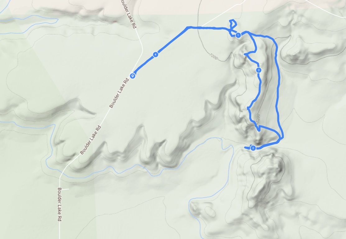
Track #1.  There are numerous trails/double tracks.  Pretty much pick your route and take different one each time.  This one was about 4.5 miles.  Trail conditions= 97% dirt, 3% rocks


Another track, another day.


And still ANOTHER track on September 27, 2018...this one about 6 plus miles.


Parking area/trail on March 27, 2017.  Too muddy/snowy to ride.


Parking area on April 29, 2017.


We named this formation "Petrified Sand Worm"


Looking southwest toward the Wyoming Range and Boulder Creek Ditch.


Lots of trail options. Lots of sagebrush.  Check for ticks after riding.


We call this one "Kissing Rocks".  They form a little arch.

Too bad people feel they have to deface the rocks with graffiti.


Looking toward the Wind Rivers.


"Un-named" formation....photo courtesy of Teisha Preece.


Near the "Ditch", there is some grazing grass, but no access to water.

Fence that  goes along the Ditch, restricting access to private property.