A pleasant ride in the Wyoming Range. Worth doing once, but I doubt we'll go back. Mostly because of the "terrible" rocky road on the drive in. There are other rides closer and just as beautiful, but without that stretch of road. It does have lakes/ponds, streams, stunning forests and gorgeous mountain vistas.
 (Click on any photo for enlarged images.)
 |
| Here are directions from Pinedale. It is about 1.5 hrs to the parking area. This is the same route in, if we were going to MacDougal Gap, but take the left fork just before entering the canyon. (Yellow circle) It is Forest Service Road 10050. DON'T google "South Cottonwood" as you'll get a completely different road. |
 |
| "Triple Peaks" on the way in. |
 |
| Road after we turned left before the canyon. It doesn't "look" too bad here, but gets worse. |
 |
| Another "Soda Lake" passed on the way in. |
 |
| Track on October 11, 2017. We drove as far up the road as we could and found a place to park somewhere near the sign in the photo below. Total mileage=8.5; Elevation: 8,350 - 9,026'; Ascent/descent=800'; Trail conditions: 15% dirt/gravel road; 10% very rocky; 20% somewhat rocky and 55% dirt/grass. We encountered patches of snow in the shady areas. |

 |
| This is one of the reasons we couldn't drive further in. |


 |
| One of the really rocky areas. |
 |
| One of the stream crossings. |


 |
| A few rocky areas like this. |


 |
| Hunter's camp where we stopped for lunch and then turned back. We were told the trail after this gets steep and/or disappears. It connects with the Wyoming Recreation Trail somewhere "up there". |
 |
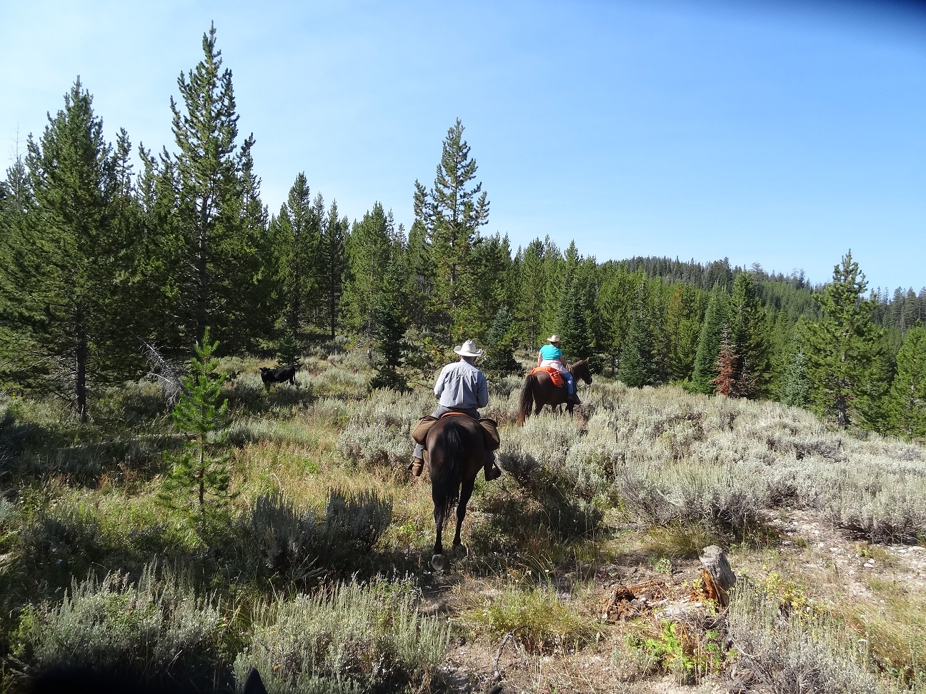
| On our way back. |


 |
| One of the little lakes on the way in/out. We kept to the right on the way in and took the other route on the way out. Beautiful scenery in this area. |