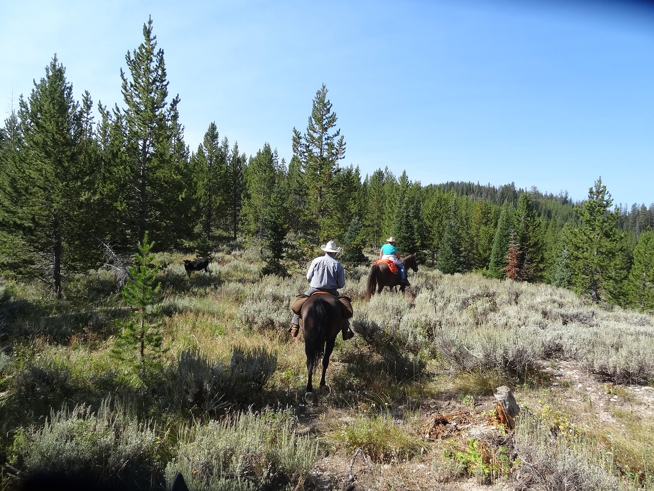
 Another ride in the foothills of the Wyoming Range. Accessed from the Merna North Beaver Road. A pleasant ride with sagebrush hills, forests, meadows, a couple of small water features and some vistas of the mountains. Recommend a guide so that the correct turn offs are taken. We encountered cattle when we rode here in August. (UPDATE: AS OF SEPT. 29, 2018, from what I can tell from the Roosevelt fire maps, about 95% of the areas in the photos on this post have been burned.)
(Click on any photo for enlarged images.)
 |
| Approximate directions from Pinedale. |
 |
| The parking area is a clearing on the left side of the road just into the Forest Service Boundary. |


 |
| We rode this on August 28, 2017. Mileage=10.5; Elevation=7,877-8,701'; Ascent/descent=1,030' Trail conditions: Some rocky, gravelly roads. The worst parts were on the upper portion on the left side of the track photo. Beautiful scenery, but the rocky forest service road caused a struggle for our barefoot horses. Boots next time! About 60% dirt on the rest of the trail. The portion circled in Yellow could be ridden as about an 8 mile loop. |
 |
| This track started out on a slightly gravelly road for about a mile. |
 |
| Just off of the "loop" winding our way up to the forest service road. |


 |
| View of Hoback Peak. |
 |
| Part of the old forest service road. It doesn't look that rocky, but it is. |

 |
| An important junction where the "turn off" joins back into the Loop. |


No comments:
Post a Comment